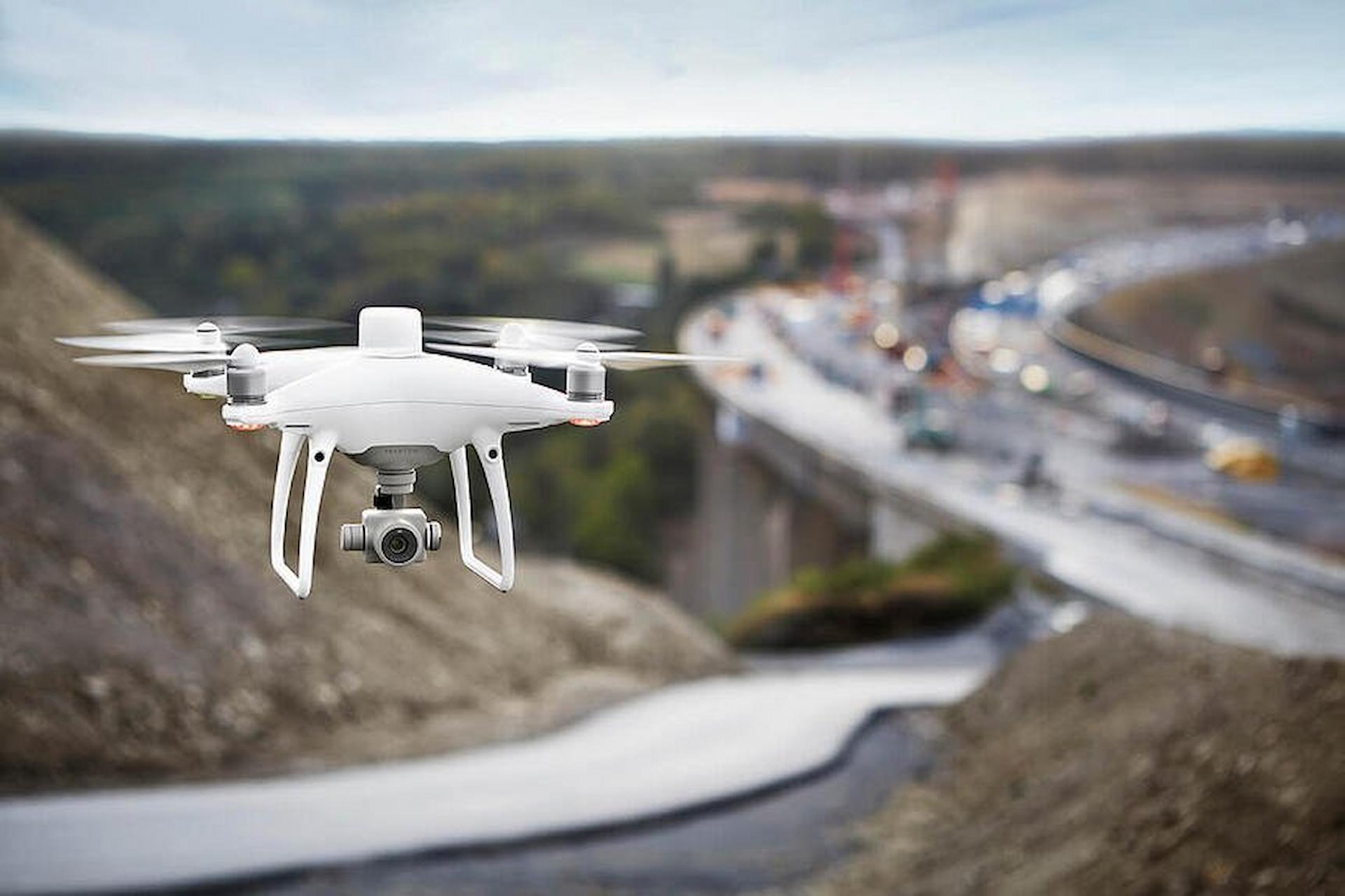
Surveys with a drone are quite popular today. Only such a survey allows us to get the pictures of difficult places where people can’t reach by any vehicle. This survey has become a compulsory process for GIS professionals. This survey involves using a drone that has a pre-installed RGB camera. So it lets the professional take pictures of a particular ground from different angles. Today this survey has become a popular way of data collection in various fields.
How Does This Survey Work?
After capturing the images through a multispectral camera, professionals use photogrammetry software. This software assesses the collected data through the survey and then produces geo-referenced orthomosaics for a clear and better understanding of the data. The biggest advantage of conducting drone surveys is that this drone can reach literally any point or geographic location. It can fly in both lower and higher altitudes. Also, it can produce pictures in high-resolution quality.
In What Fields Drones Are Used For Surveying?
Today the use of drones has increased dramatically. There are so many important fields where researchers or professionals prefer conducting a survey with drones, such as
- Land surveys. Today land surveys are required for any kind of land oriented project. Whether it’s about land development or construction projects, surveying with a drone is considered to be the beginning of the project.
- This particular survey method is quite popular in the field of urban planning. Urban planners prefer this particular survey method over any other method because only this method of survey produces up-to-date data.
- This survey gained major popularity in the field of slope monitoring. This survey can locate even small changes in the earth.
- The major benefit is that Drone surveys allow the professionals to collect Stockpile Volumetric Measurements. With its 3D mapping feature, it’s able to measure the exact volume.
What Are The Benefits Of Conducting A Survey Using Drones?
According to famous geologists, Drones are like primary equipment for geological research. They also have stated some significant benefits of using a drone.
- It’s quick and produces fast results.
- It produces clear and accurate pictures
- It’s an easy way to collect data from unreachable places.
- It’s an inexpensive way to collect evidence
- It makes the construction works easier
Thus to conclude, Drone is the perfect example of improved technology. Hope we all use this technology wisely and bring more development in future projects.